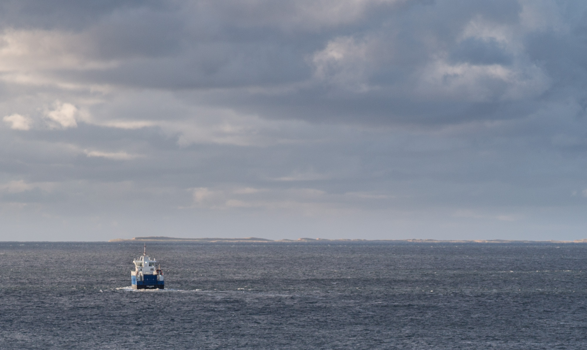
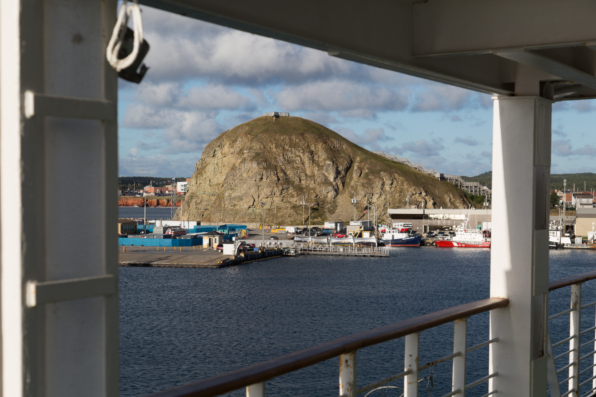
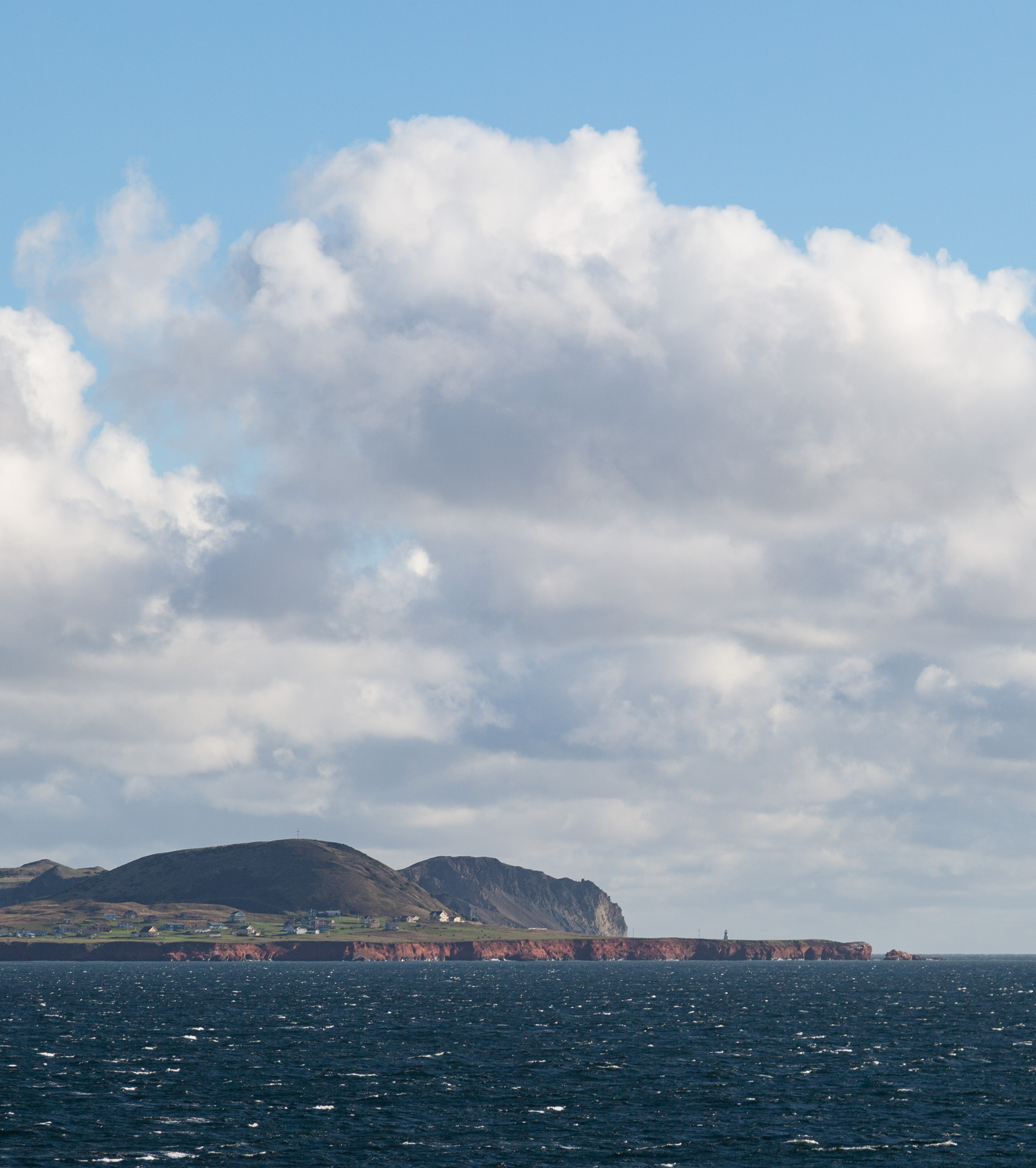
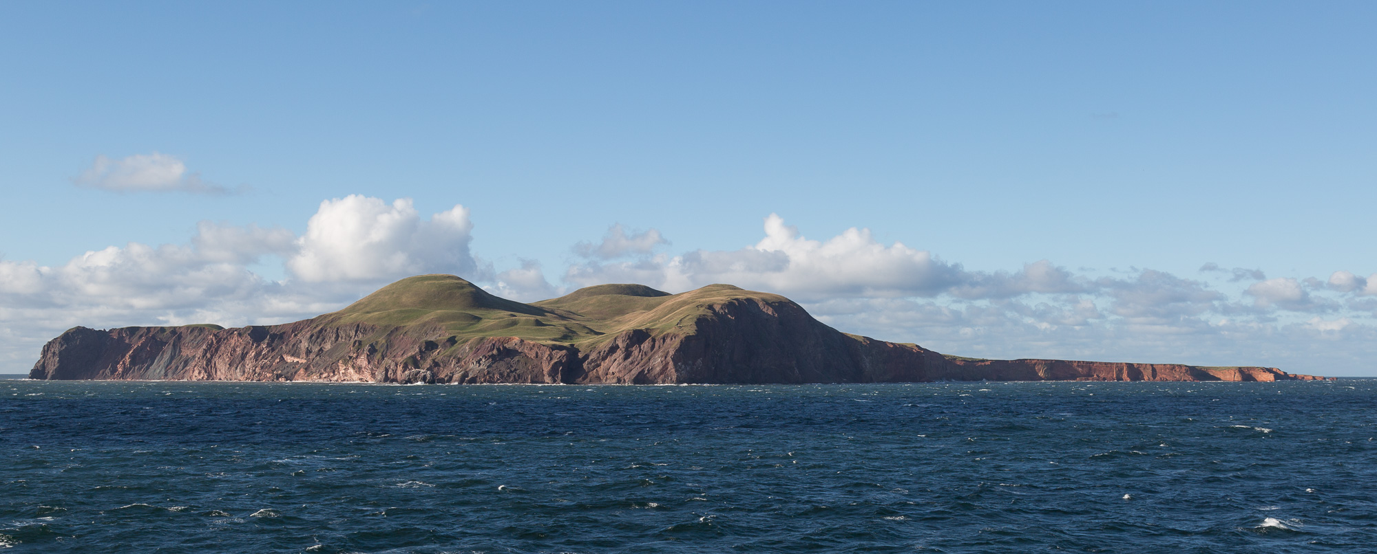
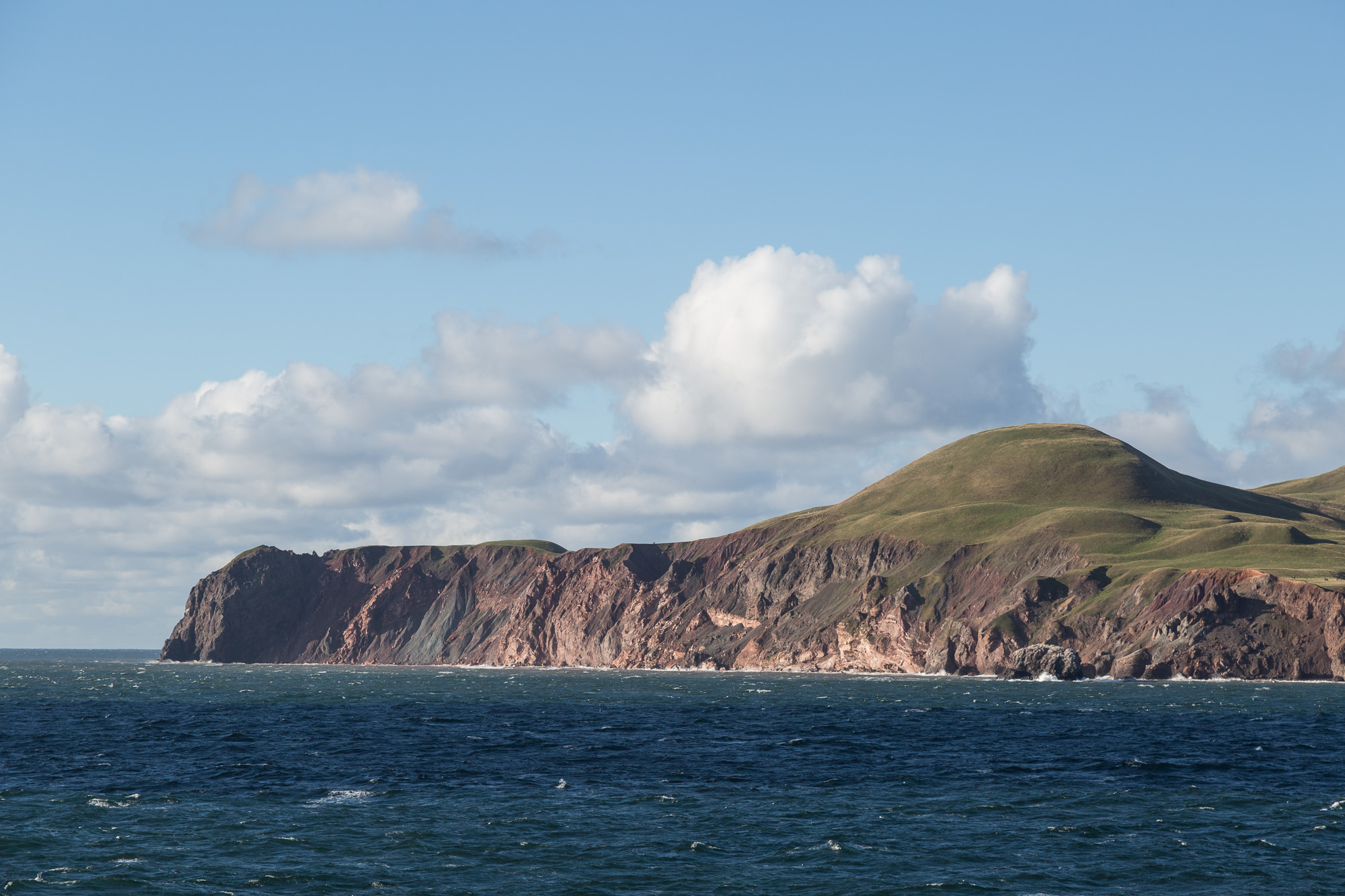
The CTMA Traversier, our ferry to Souris, PEI, left early. We watched the small ferry to Entry Island, the Ivan-Quinn, leave ahead of us, and watched as the MS Marco Polo arrived and dropped anchor outside the harbour.

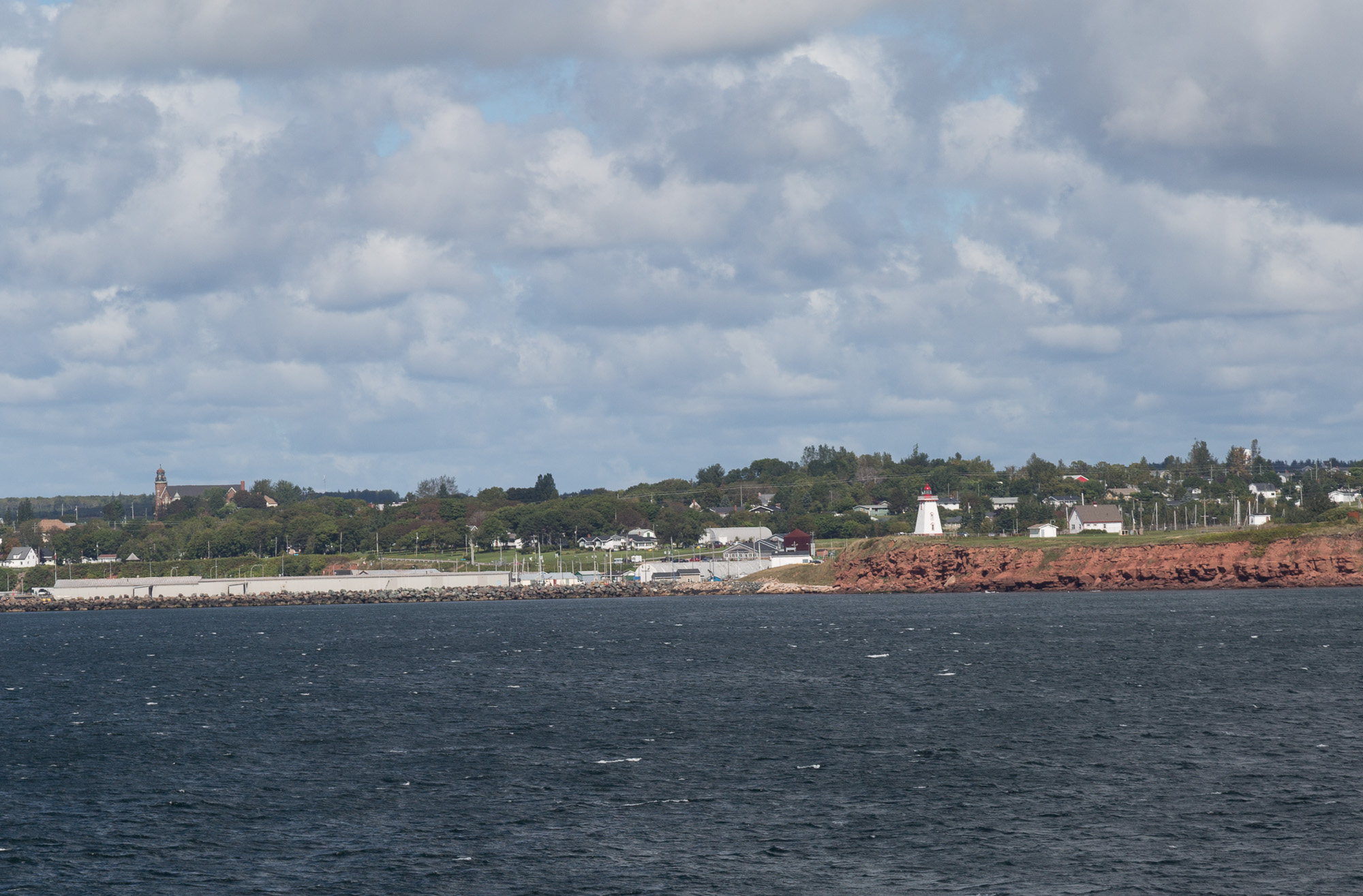
Our route took us around Entry Island and through open seas to East Point on PEI, where we turned to follow the coast and dock at Souris.

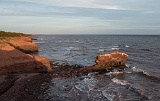
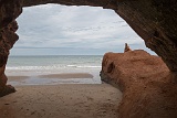
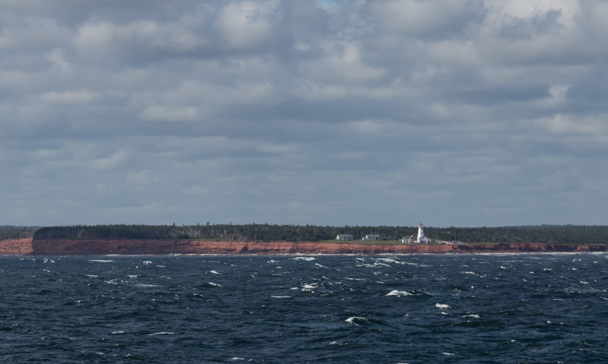
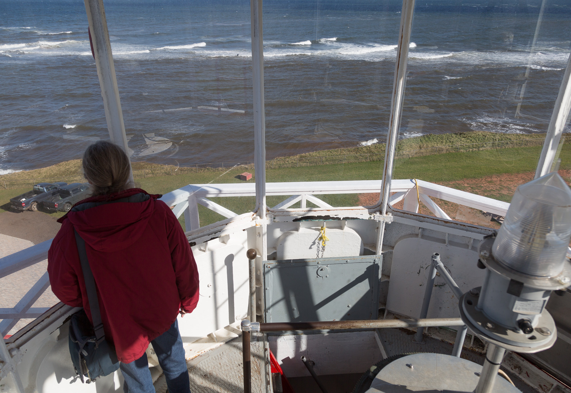
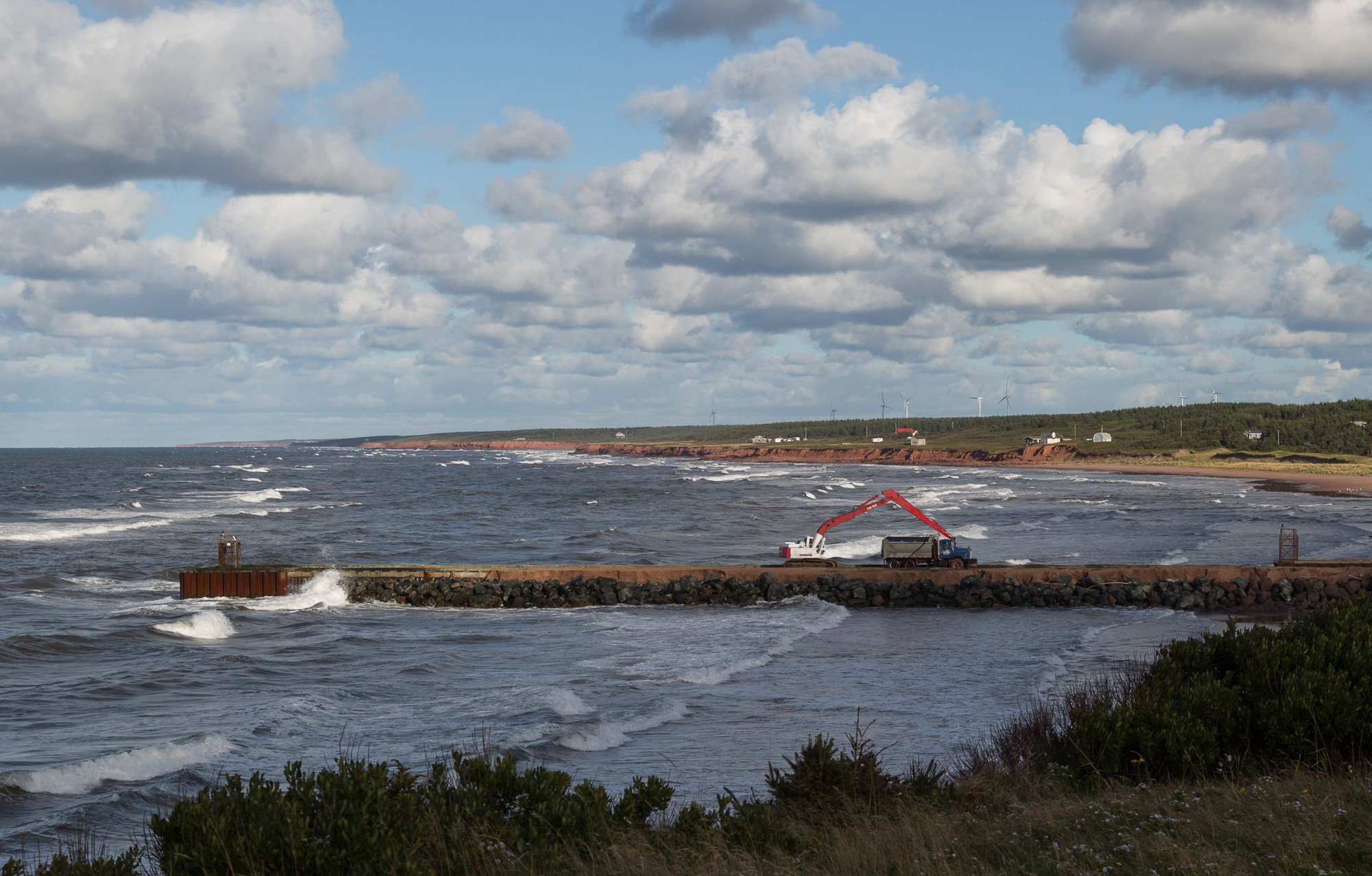
After checking in at our B&B we drove back to East Point to go up the lighthouse, and to look at the interaction between the waves that come from two completley different directions. We then drove along the north coast as far as Naufrage before heading back to Souris.

5D3 3164  Taken at Latitude/Longitude:47.379595/-61.853137.  km       (Map link) 5D3 3168  Taken at Latitude/Longitude:47.379595/-61.853137.  km       (Map link) 5D3 3170  Taken at Latitude/Longitude:47.379584/-61.853054.  km       (Map link) 5D3 3171  Taken at Latitude/Longitude:47.379568/-61.853013.  km       (Map link) 5D3 3172
5D3 3176 5D3 3178 5D3 3190 5D3 3191 5D3 3193
5D3 3204  Taken at Latitude/Longitude:47.149530/-61.679350.  km       (Map link) 5D3 3206  Taken at Latitude/Longitude:47.146800/-61.680477.  km       (Map link) 5D3 3207  Taken at Latitude/Longitude:46.458869/-61.920886.  km       (Map link) 5D3 3211  Taken at Latitude/Longitude:46.329095/-62.247271.  km       (Map link) P1020313  Taken at Latitude/Longitude:46.349321/-62.255315.  km       (Map link)
5D3 3214  Taken at Latitude/Longitude:46.452853/-61.971737.  km       (Map link) 5D3 3218  Taken at Latitude/Longitude:46.452853/-61.971737.  km       (Map link) 5D3 3221  Taken at Latitude/Longitude:46.452437/-61.973346.  km       (Map link) 5D3 3225  Taken at Latitude/Longitude:46.452437/-61.973346.  km       (Map link) 5D3 3227  Taken at Latitude/Longitude:46.452437/-61.973346.  km       (Map link)
5D3 3228  Taken at Latitude/Longitude:46.468673/-62.420643.  km       (Map link) 5D3 3233